Nkongsamba
The former coffee capital, at the foot of Mount Manengouba
Littoral Region (capital: Douala) · Moungo department (capital: Nkongsamba)
Related language : Pidgin camerounais
Where is Nkongsamba?
Nkongsamba is in the Littoral Region of Cameroon, about 150 km from Douala by road.
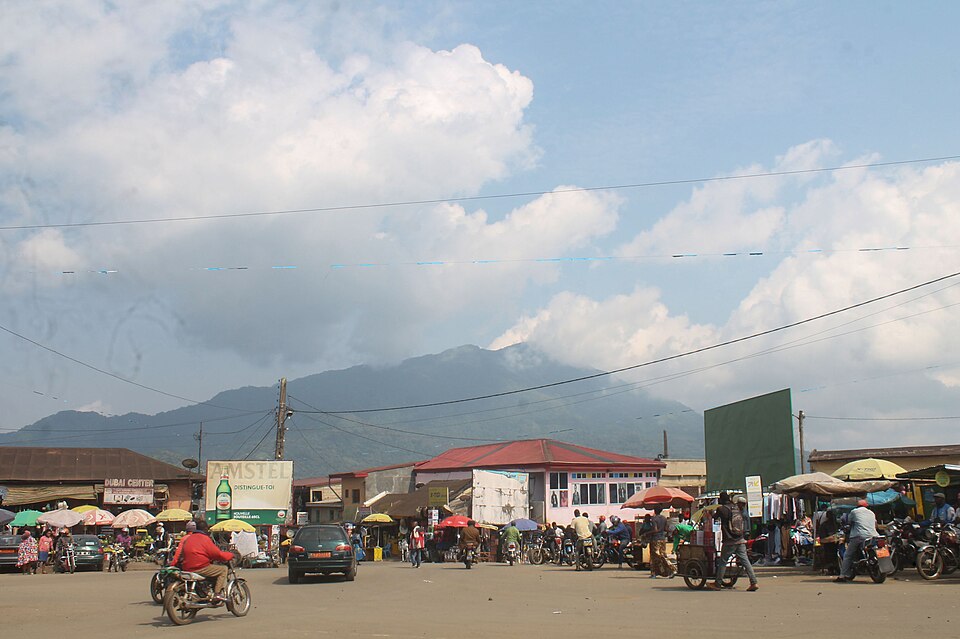
Nkongsamba is the capital of the Moungo division, in the Littoral region, between 826 and 870 metres above sea level depending on the source. It lies between two mountains, the Manengouba massif, which rises to nearly 2,400 metres, and Mount Nlonako. It had 104,050 inhabitants at the 2005 census, making it the country's ninth-largest city.
History and origin of the name
The town grew with the railway line built by the Germans from Douala and completed in 1911: Nkongsamba was its terminus, 172 kilometres from the port. Made an administrative centre in 1923, it prospered on coffee, to the point of being regarded as Cameroon's third city between the 1960s and the 1980s. The closure of the last section of the line, between Mbanga and Nkongsamba, on 25 November 1991, went hand in hand with its decline.
What to see
- The Manengouba massif, part of the volcanic ridge of western Cameroon, which towers over the town.
- The Ekom-Nkam falls, some thirty kilometres away: an 80-metre drop where the film Greystoke was shot.
- The old art deco railway station, terminus of the line from Douala, now converted into housing.
Economy and local life
Nkongsamba remains a major farming centre: growing and trading coffee, including the seasonal work of hulling it, are its main activities, alongside palm oil and bananas. The Baneka and Mbo, its indigenous peoples, live alongside Bamileke, Tikar, Fulani and Mbororo communities.
What to eat
A melting pot of Moungo and Western peoples, Nkongsamba shares the cooking of the Littoral and the neighbouring highlands, such as ndolé or koki.
Practical information
The altitude makes the climate cooler than in Douala. The town is about 150 kilometres from Douala and 115 kilometres from Bafoussam by road; trains no longer serve it, and its former airstrip is abandoned.
Distances by road
Approximate distances, city centre to city centre. Travel time depends heavily on road conditions and traffic.